For better control during your operations
We are introducing a new powerful feature in GroupTalk PC Dispatch – the ability to add custom map layers in the Locations panel. This feature gives dispatchers more control, flexibility, and situational awareness than ever before. Multiple layers of each type can be added, making it easy to tailor the map to your operational needs.
With the new feature, users can add two types of layers: Geographic data layers and Image layers.
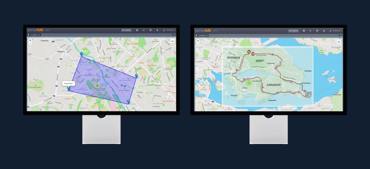
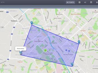
Geographic Data Layers: Geographic data layers allow you to visualize points, lines, and areas on the map. Ideal for showing evacuation zones, search areas, routes, or geofences, these layers can also include custom names and information that appear when clicked. Click “Add GeoJSON Layer”, upload your file, and start building your operational view. You can rename, manage, or remove layers as needed. You can easily create your own GeoJSON file for free at geojson.io.
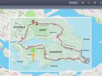
Image Layers: Image layers allow you to overlay a visual image, such as an event map or blueprints, directly onto the map. Click “Add Image Layer”, insert the image URL, and use drag-and-resize tools to place it exactly where you want. Opacity settings make it easy to layer images without losing visibility of underlying map elements. This is especially useful for temporary operations, large-scale events, or areas with custom layouts not covered by standard maps.